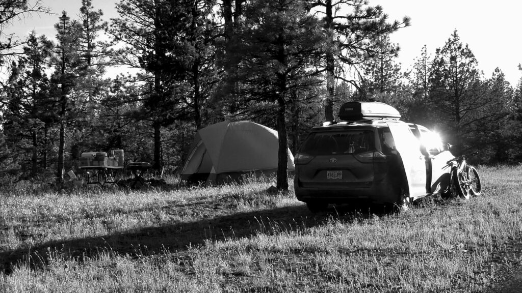
I faded out that night, late with the sun’s last grasps on our longest day in the North.
It had been a long day of driving and I am a nervous person in transit unless I am sure of success. So many variables, and yet somehow failures are rare. The ones that happen always leave an imprint.
Were you prepared?
I did my best to enjoy the day of driving. I try to look at long drives as an opportunity to stare at things and think about the ridiculous. The only exception is heavy traffic. Then I just try not to die by heart attack.
The first days of Summer in the High Desert were cool by average. Early spring was epic nice, but in May, Winter returned somewhat until July. Late June was tolerable by Oregon standards, but nothing really grew in my garden until July. It all just sat there waiting for warm roots. As I skidaddled up the ’97 corridor I tried to make a mental note of everything I had forgotten. Somehow coffee and pillows were on top of that list.
Nice work Andy. I brought a twin sized pillow-top mattress and enough bedding to build a nest for a Condor. I had two ways to make coffee and not one ground to brew. My home away from home, the city of Bend came along soon enough and Fred Meyer is handy. One stop shopping, adding another $80 to my trip. In prior years I might have tried to tough out the pillow situation, but my neck was part of why I was pressed to get the ride accomplished. It had to remain functional for 300 more miles of riding.
I found Prineville via Alfalfa and Prineville Reservoir. It had been 27 years since I was up there in the upper rimrock country of the Crooked River. Maybe next summer there will be more time to explore from there East to the old Rajneeshpuram ranch. A survey of the highlands that divide the Crooked and John Day Rivers. Maybe find the point that divides those two rivers from the Great Basin while I’m up there.
Filled the tank at the edge of town and then began the less traveled roads to Mitchell, Service Creek, and then Spray.
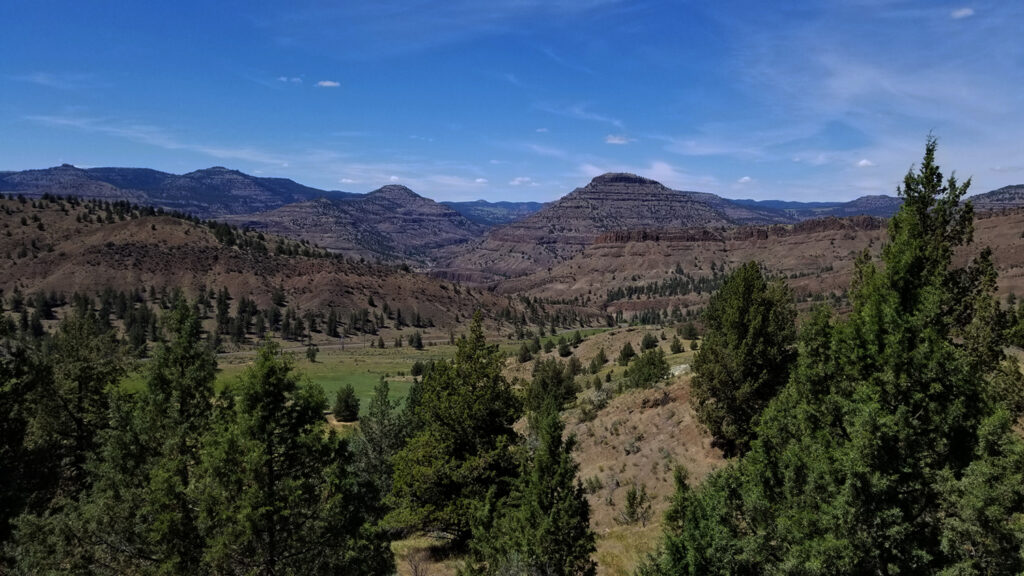
At this point I had no real plan for where exactly to camp. The ideal images in my mind were elusive. I was hoping to find a nice secluded spot where the low-desert meets the forest. Grasslands tickle pine trees through high desert fill. Mountain Mahogany bridges in climates of aspect and elevation.
The John Day River at Spray is just under 2000 feet elevation. The Grasslands of the mid-Columbia creep up the canyons meeting hardy vegetation creeping down from the high country.
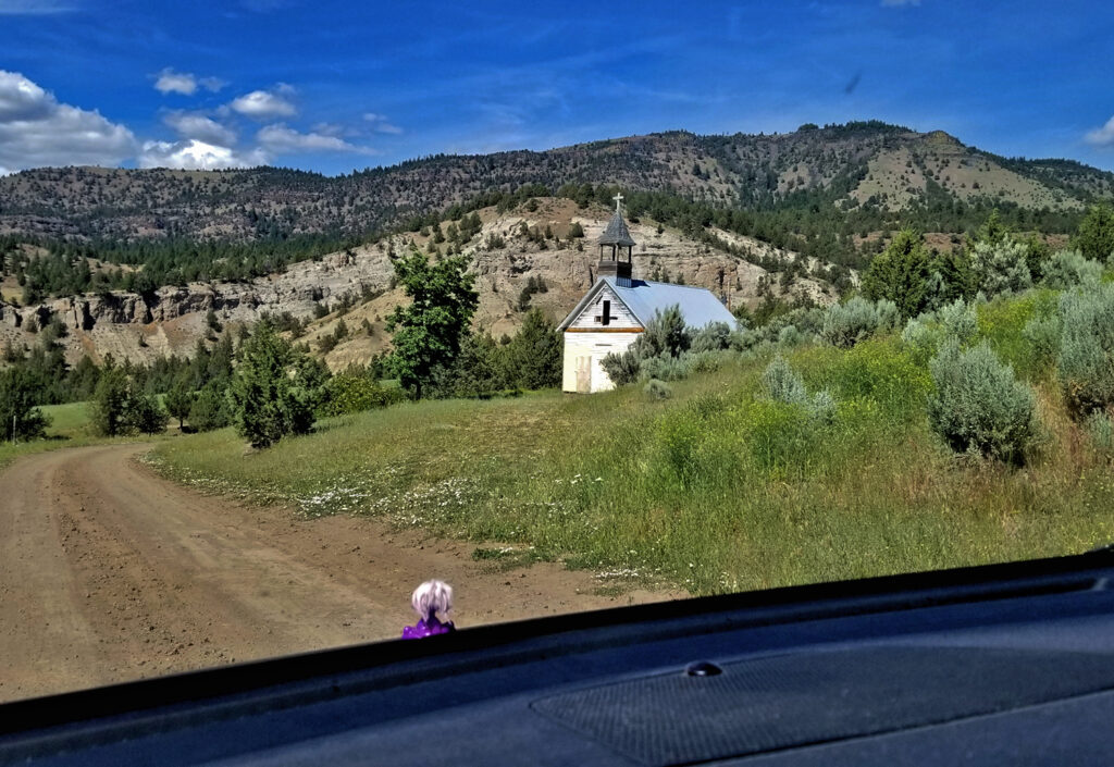
I tried a couple of roads that seemed to have promise for finding this liminal condition. They were barely Sienna accesable, and there was private land to cross which is sketchy to me for camping. Undeterred, I pressed on, higher up the mountains north of Spray. Now completely in the National Forest I thought it might be easy to at least find some of my criteria for a multi day camp. The climate-zone liminality wish was out. I was already solidly in the Montane Zone. Surprisingly, all of the spur roads were blocked off too.
“For Wildlife Habitat Restoration”
I was cool, it was only four when I found myself at the fire watchtower.
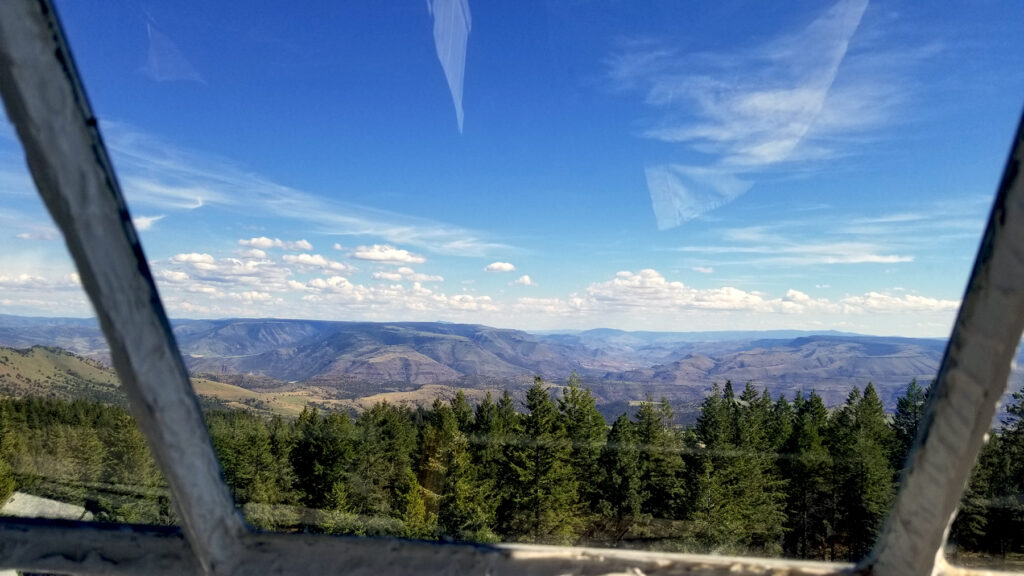
Up a road dense with over-planted Lodgepole and Ponderosa, now mulchy with disturbed soil and sawdust.
Logging debris.
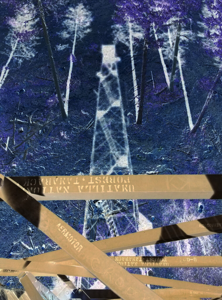
I woke up in the morning, later than I hoped, but it was cold and the day was longest so I chose a bike and a ride. After 250 miles of asphalt the day before I felt like keeping dirt under my body that morning so it was Fatbike and a 2000+ foot descent to the low desert Southeast of my camp.
Unknown with best guesses.
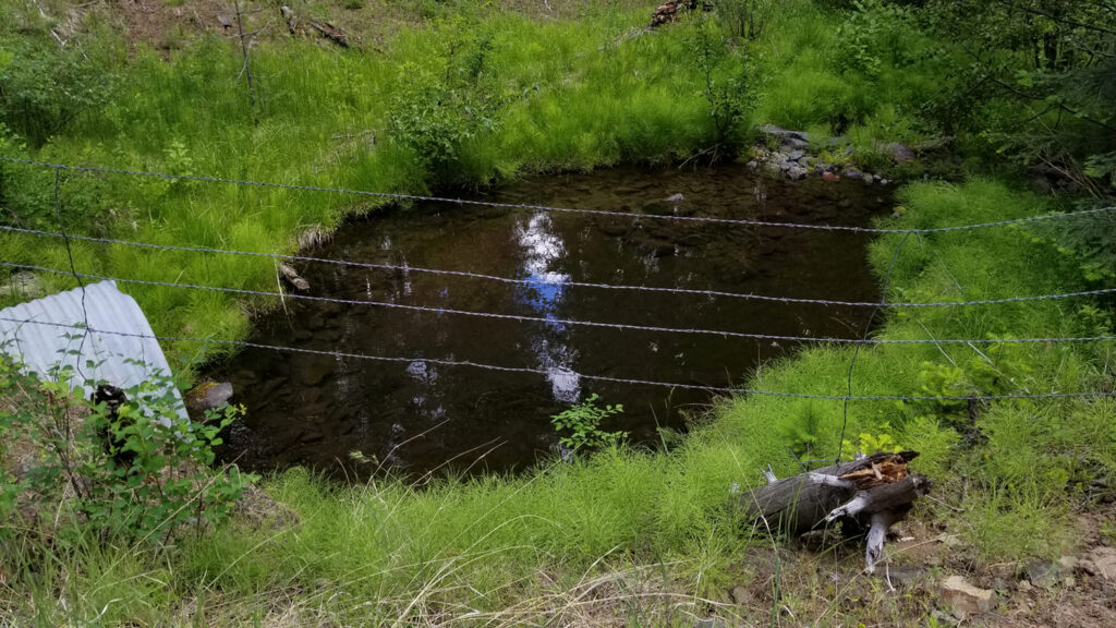
After coffee and croissants the plunge began. I don’t recall having to pedal for 8 miles, and certainly happy for hydraulic brakes. The surface of road 2402 is not too bad for suspension or fat bikes. Ascending would be tedious. Descending was pretty exciting. Smooth with switchbacks and long contours. a couple of existential moments with a pause for tranquility. About two thirds of the way to my first big intersection of decision I came upon a water hole adjacent a headwater zone for Keating Creek that was now next to the road. For miles, any trickle of water had been down below in the canyon except for inside switchback culverts.
Road 2402 intersects routes to more canyon remote. Oregon badlands. There are places in Oregon that are more badlandy, but this little belt of the Blues foothills between Service Creek and Ritter and North 10 miles is pretty dramatic. Each box canyon disappearing up into forested valleys and then scrubby rocks protruding from the summits. There is a lot going on visually.
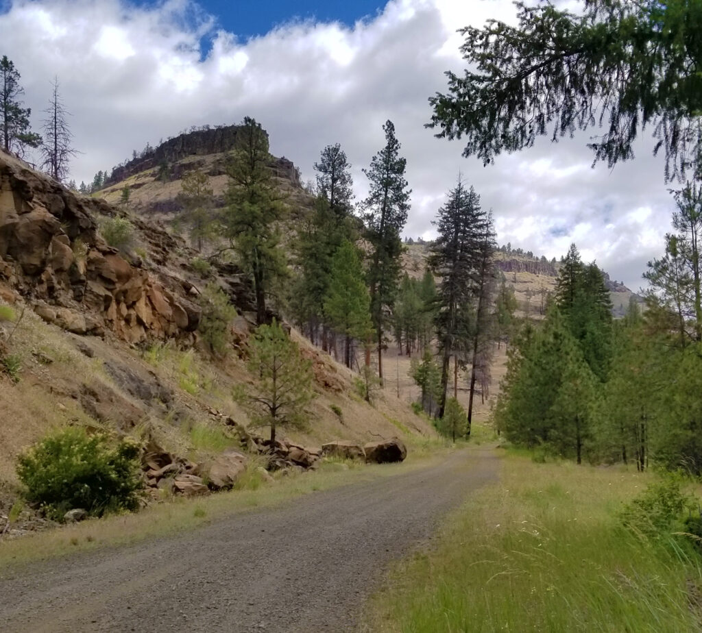
The good thing is that this was now the start of 16 miles of climbing and several hours for audio books to drown out my OCD looping.
Day 1 book choice: Hitchhikers Guide to the Galaxy.
I like to revisit this masterpiece every 10 years or so. I first knew of it from a BBC TV series that I had watched when we lived in the UK in 1981-82. At the time I was super-interested in Space and Buckminster Fuller. I was terrified of nuclear war and preparing for it in my 9 year old mind. Long before I saw Hitchiker’s I was designing a fleet of spaceships to save humanity from it’s complete destruction. I was fairly convinced that this level of space travel could be possible in my life time.
You never know. Paradigm shift happens quick.
Imagine how much we could accomplish as a species if we just learned to drop the greed and work for common health.
If we were just 25% less rapey-killey, and 25% more helpey-learney.
If we actually cared about our offspring.
Before the big roll back up to high country. I took an hour to hike through cheatgrass up to an overlook of this splendid intersection. My route was fairly clear. I wasn’t the first human to scramble up to the little promontory. From the road I had entertained trying for the higher butte. Standing on top of it’s little brother, it was clear that it would be much more commitment than I wanted so early in the day. The views from my spot were just fine. Irie!
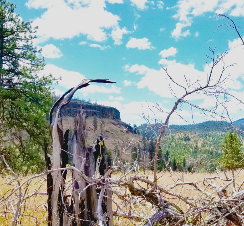
Snacks and captures and water and wow…who gets to live back here. From my rock I could see a monster residence tucked in the forest along one of the five tributary creeks at the intersection. That is elegant isolation. 10 miles from pavement, and that pavement is almost 20 miles from gas. 60 from real groceries. It must be really quiet when it snows in there.
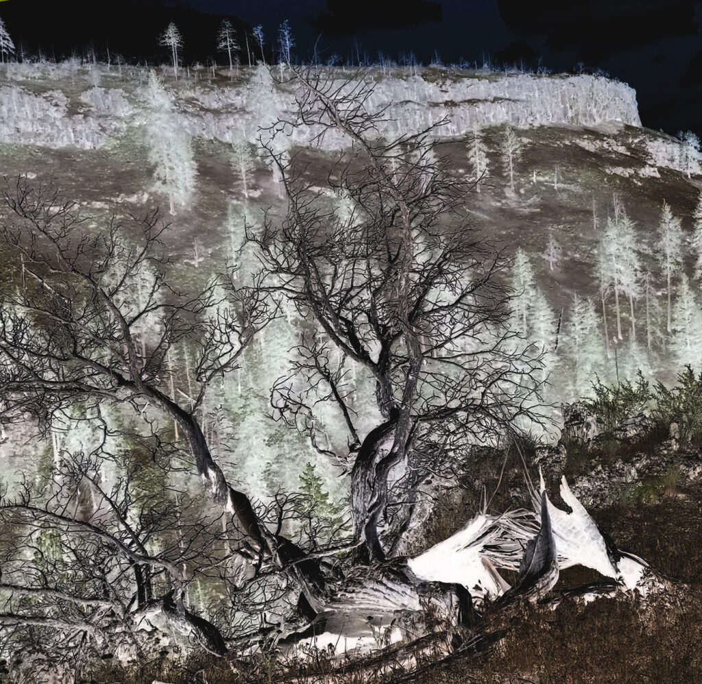
After about 20 minutes of pulling Cheatgrass grains from my socks I had a situation I could live with for a while. Those little pricks…
I put Fatbike in tractor mode and listened to my stories. Pine forest with gentle meadows. Sometimes cows, but mostly not. As I climbed the valley it started to widen and the karst promontories all but disappeared into the forest with distant ridges topping 4,000 feet now. I was at 2,500 and rising. Slowly.
Tractor speed.
The problem with having seen the TV show of Hitchiker’s as a kid is that the images from the show are my references for listening to the audiobook performance, and the audio book turned out to be a radio broadcast of the book from 1978, so the way the ideas were communicated are similar to the TV show.
Preconceived entertainment.
Not one mention of a “Superintelligent Shade of Blue”, which was, in my opinion, the most important concept from the book.
I decided to become a semi-intelligent shade of rust and listen to the presentation through that filter.
Oxidized agency.
Somewhere along the road I came upon the entrance to an OHV park. It is huge. I had no idea these facilities were dotted around the state. They are organized.
My world view is so myopic that I never even thought to wonder where those people went besides the beach and dunes in Christmas Valley.
I am glad they have this facility. It seems as if OHV and Mountain Bikers would have some shared interest, but beyond having a place for our activity there is nothing in common. Very different types of trails and challenges, and then there is the noise. It is good that there is a place for everyone, and well developed too. Perhaps that keeps people from thrashing through undeveloped areas. Soils out there are fragile.
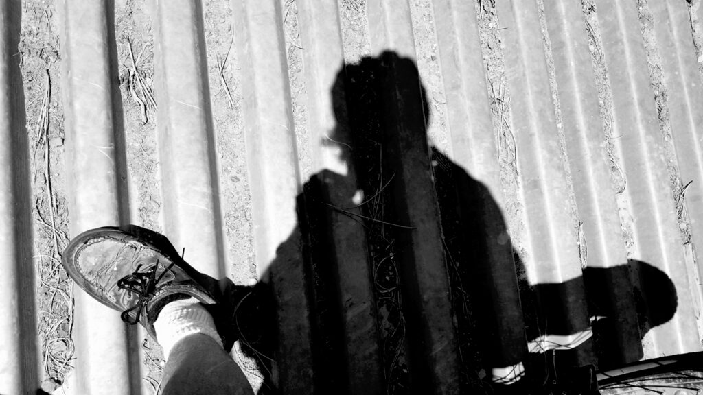
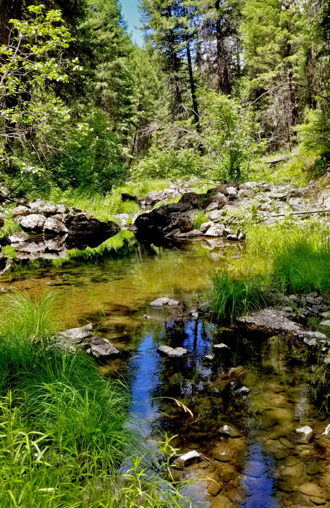
The facility went on for so long that I forgot I was inside a boundary. There were open range cows and idyllic swimming holes in a creek that by some miracle was not trampled by bovine thirst. Perhaps the cows are well-corralled. It can be done. Riparian zones don’t have to look like the killing fields.
Almost all at once you pop out of the canyon in a short zig-zag climb of the shallow head wall. At this point of significant apex in this part of the ride the wind is unblocked in every direction on the ridges. The trees are tall enough to break it a bit, but more or less, 4,400 feet is the top for many miles around, so the air is atmospheric and less local. I can’t smell any cows now.
I could have fairly easily slid over to my camp with relative ease for elevation, but that would have got me back too early and with only 28 miles ridden for the day. I elected to continue North and descended toward Heppner on Sunflower Flat Road. It was steep and fast. Scary fast. Eventually it flattened out and rejoined road 207. For reasons unknown, there was a little neighborhood. A clean, well kept neighborhood.
It was afternoon and hot now. I was nearing my water ration. I had enough, but it would be close. Just 15 miles back to camp, but 2000+ feet of vertical. I slogged along, riding south into the sun just after noon, just after Summer Solstice.
That is some exposure. Hour one went by and my best entertainment was a lonely cowboy boot in the road. It gave me something to laugh about until I got to the business part of that OHV park I had ridden through earlier, lower and further East. Up here there was a restaurant and Sundry store. The restaurant was not open, but there was water so I refilled my bottles and kept huffing up the pass.
Eventually the summit sign let me know I had reached the end of accumulating vertical for the day. Right around 4,500 feet. Enough for Fatbike. It was still a few miles to camp, but at this point they were cruisers.
The gravel of road 24 echoing in the fat tires reminded me that I was still moving– my tunneling vision locked on to a sign for the turn off up ahead. I could see my drum tent fly flapping a bit in the breeze that I had now rejoined on top of the ridges.
In the Sienna, on the mattress with all the doors and windows open, I laid back knowing I hadn’t quite made 50 miles for the day. It was close, and enough. 45 on Fatbike is like 80 on a road bike. I had ridden the 5 the night I arrived, so I was still easily on target for my 300 mile week.
I was disappointed, but too tired to worry about it. Some food and I took a sweet nap in my breezy nest.
Waking up for dinner and a sunset, this night I drove out to a view spot, looking south at the John Day River Valley. I was able to tune in NPR and a show called “On Being”. Perfect discussion for my week of meditation and isolation.
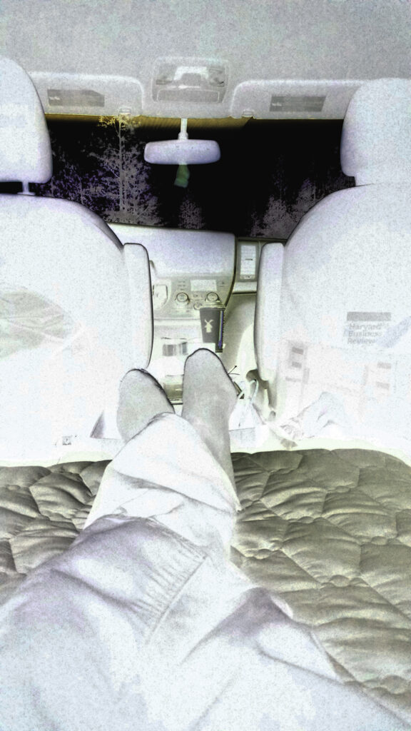
After 10 pm the light was low enough that I couldn’t read maps without a lamp so my consciousness drifted to thoughts of my reconstruction.
I still have so far to go, every day feeling further from truth but also more honest about what was broken.
In the morning I would change bikes and focus. Of this I was certain. Too soon I found a dew soaked morning kitchen and the smell of brewing coffee.